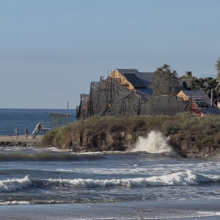
Malibu Lagoon State Beach
Visiting Malibu’s Lagoon yesterday morning with the Santa Monica Bay Audubon Society, I was surprised by the increased water levels. Factors for the exceptional inflow, which came together at high tide at ~8:52 AM, include a King Tide, a full moon, a Kelvin wave and El Niño. Crossing Malibu Creek on the Pacific Coast Highway Bridge to bird at the Adamson House, I noticed that Surfrider Beach was underwater at high tide.
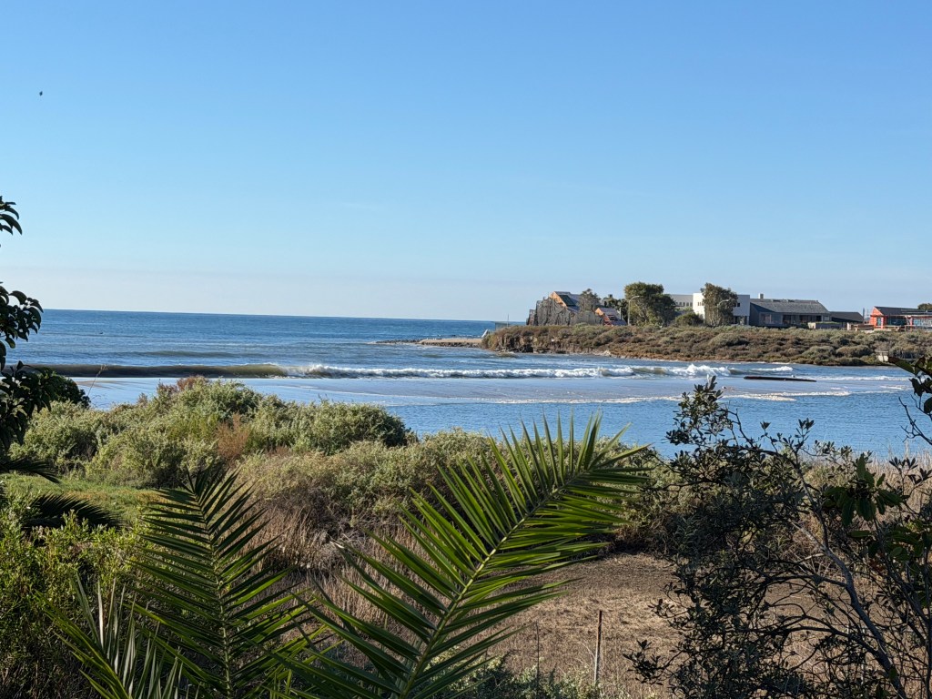
By the time I took this video, the tide was going out while it kept slowly zippering away the sandy embankment. What will the next rounds of King Tides deliver when they arrive later this year?
Are you curious about what it normally looks like? This Surfrider Foundation site has a photograph of the lagoon at a lower tide.
A Note about Word Origins
While volunteering as a docent at the Adamson House years ago, I learned a bit about the origin of the word Malibu. Humaliwo is believed to refer to a Chumash village at the foot of Malibu Canyon where Malibu Creek enters the Pacific Ocean. The word translates to “where the surf sounds loudly.” Or does it?
Writing about the Mapping Los Angeles Landscape History project, Malibu resident and historian Suzanne Guldimann sheds light on the inferred meaning of the name. “The city of Malibu has embraced the theory that its name, based on the Chumash community of Humaliwo, means “where the surf sounds,” or “where the surf sounds loudly.” That definition appears in federal, state and local government documents. It’s written into the city’s official history as an incontrovertible fact. However, the Mapping Project report concludes that there is no way to know what the name—pronounced huma-LI-woo, not hoo-ma-li-wu—actually means.”
(Source: Suzanne Guldimann, Recovering the Past: Mapping Los Angeles Landscape History, Topanga New Times, 10/20/2023.)
Yesterday the surf wasn’t particularly loud, but it was notable for the location of the breaking waves.

